Statewide Avalanche Conditions
Issued: 11/02/2011 8:47 AM by Spencer Logan
Expires: 11/05/2011 12:00 PM 2 2
Highlights
The November 1st storm brought some decent snow to the mountains. Using the 6 AM numbers from remote weather stations, after the majority of accumulation occurred:
* Steamboat Zone 6 to 8"
* Front Range 4 to 6", with more than 12" around Cameron Pass
* Vail Summit 6 to 8"
* Sawatch 4 to 7" with over 10" on Monarch Pass
* Aspen 4 to 8"
* Gunnison 4"
* Grand Mesa 8 to 12"
* North San Juan 6+" Red Mountain Pass to Telluride, less to the south
* South San Juan 2 to 3"
* Sangres still snowing and blowing hard
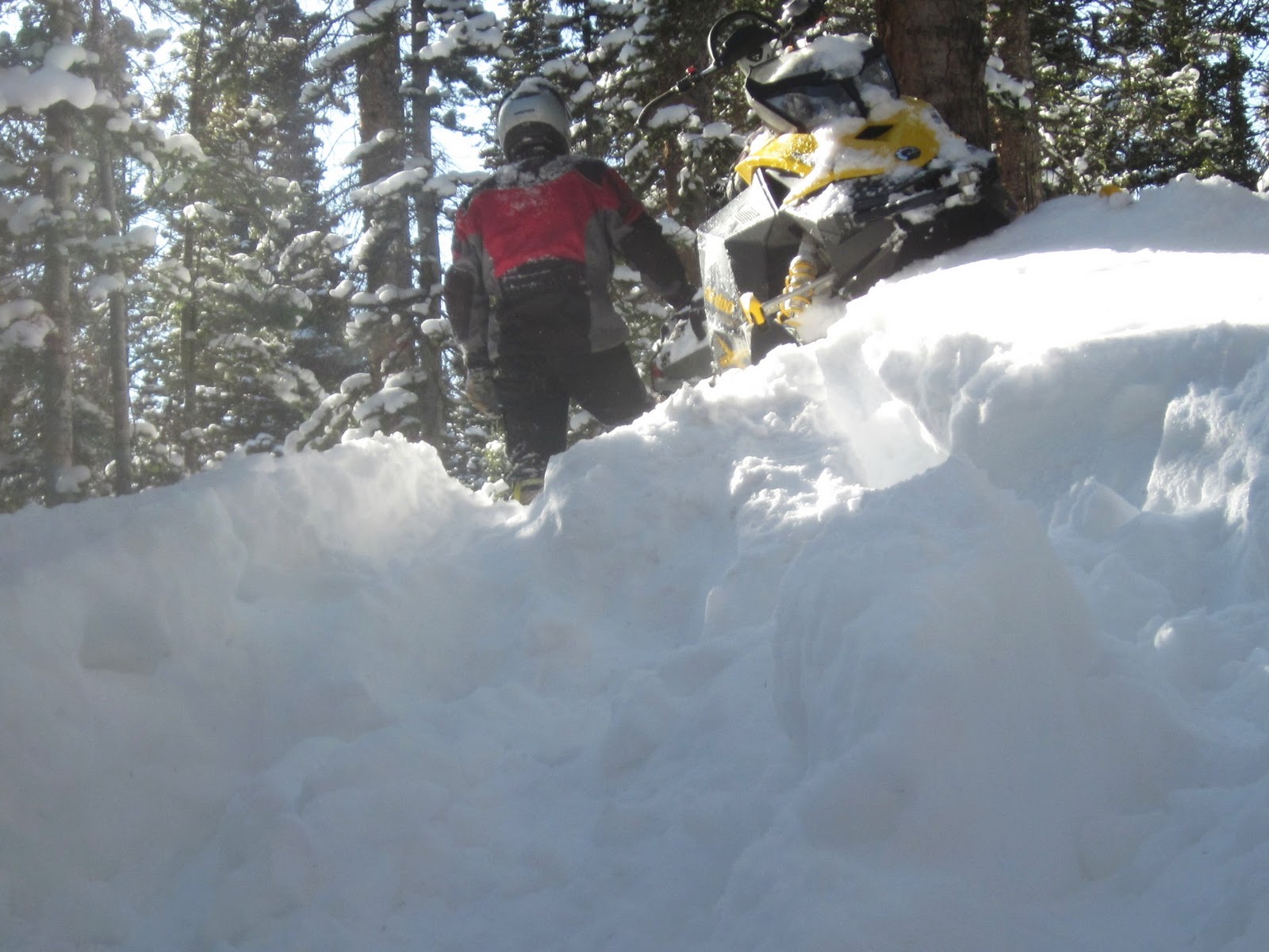
Winds started from the southwest and shifted to the east. Generally, wind speeds were moderate but strong enough to drift some snow. Local areas saw stronger winds, with reports of 16 inch thick drifts in Telluride and strong valley winds in the Front Range. While not a big load, the new snow fell onto a weak, early season snowpack. Expect to find sensitive storm slabs and wind slabs in steep terrain near and above treeline. Remember the early season mantra "if there is enough snow to ride, there is enough snow to slide." Early season avalanche incidents, and even fatalities, are typical. Unpack your avalanche brain as you get the rest of your winter gear ready.
Please send us your observations and we'll keep the list of Field Reports and Avalanches current.
The November 1st storm brought some decent snow to the mountains. Using the 6 AM numbers from remote weather stations, after the majority of accumulation occurred:
- Steamboat Zone 6 to 8"
- Front Range 4 to 6", with more than 12" around Cameron Pass
- Vail Summit 6 to 8"
- Sawatch 4 to 7" with over 10" on Monarch Pass
- Aspen 4 to 8"
- Gunnison 4"
- Grand Mesa 8 to 12"
- North San Juan 6+" Red Mountain Pass to Telluride, less to the south
- South San Juan 2 to 3"
- Sangres still snowing and blowing hard
Winds started from the southwest and shifted to the east. Generally, wind speeds were moderate but strong enough to drift some snow. Local areas saw stronger winds, with reports of 16 inch thick drifts in Telluride and strong valley winds in the Front Range. While not a big load, the new snow fell onto a weak, early season snowpack. Expect to find sensitive storm slabs and wind slabs in steep terrain near and above treeline. Remember the early season mantra "if there is enough snow to ride, there is enough snow to slide." Early season avalanche incidents, and even fatalities, are typical. Unpack your avalanche brain as you get the rest of your winter gear ready.
Please send us your observations and we'll keep the list of Field Reports and Avalanches current.
Twitter 8:44 AM by Spencer Logan: Updated w/ 6AM snow accumulation. Expect sensitive storm and wind slabs near and above treeline.
Weather Discussion
The storm marched nicely across Colorado Tuesday night. The back edge will march eastward across the mountains on Wednesday, with a few scattered snow showers lingering into the afternoon. Northerly flow sets up behind the storm, with gusty north winds through the afternoon. Winds decrease this evening and turn northwesterly as a high-pressure ridge moves in. Daytime temperatures will inch upwards Thursday and Friday. A storm is lining up for this weekend, kicking in Friday night and snowing through the weekend.
Backcountry Weather Forecasts resumed on Nov 1. Details on snow accumulations, winds, and temperatures are available there.
Snowpack & Avalanche Discussion
No avalanche incidents have been reported this season. Yet. Don't be the first.
Observers have reported five unintentionally human-triggered avalanches during or since the last storm in late October. We generally assume reports are a small portion of the number actually triggered. All the slides were on northerly aspects near or above treeline. The slides were relatively small, not surprising for the shallow early season snowpack, but took out most or all of this winter's snowpack.
The Tuesday storm brings several avalanche considerations. Storm slabs are an important consideration. With the new accumulations of snow, storm slabs may form even in wind-sheltered areas. Recall that "slabs" can be soft and powdery, if there is weaker snow underneath. We know weak, faceted old snow is plentiful. Look for subtle changes within the storm snow, too. Storm slabs can break much wider than you anticipate and take out entire slopes.
New wind slabs will be another consideration, mainly near and above treeline. Winds will shift from southwest to north, with some strong gusts along the way. Expect both pockety, discontinuous slabs and widespread slabs in open areas. The slabs will be sitting on that old, faceted snow and avalanches will easily break to the ground.
Cold, clear nights between the early season storms promote faceting. The result is big, sugary, weak snow on shady slopes and high elevations. Many locations now have one to three feet of snow on the colder and more shaded aspects. This weak snow will be the foundation of our snowpack for a while. The weak, faceted snow will not make for a strong snowpack, and early season avalanches will plague us for several more storms. Expect Tuesday's storm to be sensitive and easily triggered on higher elevation, shady slopes.
Anticipation and excitement run high with early season storms. Everyone is eager to get out and play. Be sure to unpack and dust off your avalanche thinking, good travel practices, and safety equipment with the rest of you gear. It is common for October avalanches to catch people every season. An early season encounter with an avalanche will often come with a ride through rocks, downed timber, stumps, or other obstacles which can quickly bring an end to your riding season. Always think of the consequences if you get caught and take a ride in an avalanche.
Fall and Early Winter Avalanche Safety
* Fall and a taste of winter have returned to Colorado’s high country. Snow began to stick on the higher terrain by mid-September. Every season people have encounters with wintertime slab avalanches as early as August or September. Anyone traveling in the mountains, including hikers, hunters, sledders, skiers, riders and ice climbers, needs to be aware of the avalanche threat as soon as snow starts to accumulate on steep slopes.
* People are often misled when they see grass and brush sticking out of the snow surface. You should start thinking about avalanches any time you have snow resting on a steep slope. Remember, all you need is a slab resting on a weak layer of snow. The ground can easily act as a bed surface, even if it’s only a few inches below the snow surface.
* Old summer snow fields can act as the perfect bed surface too. Hard frozen old snow with new snow on top are common culprits in early season avalanche incidents.
* Early in the snow season there is not much snow on the ground. This means that rocks and stumps are near the snow surface. If you get caught in an avalanche you might get tumbled through rocks, stumps, and downed timber. These obstacles can do great bodily harm to backcountry users traveling through them at high speeds. Knee pads, helmets and full body armor may not be a solution to this problem. Even a very small slide can cause great harm if the terrain is unfriendly.Don't let an early-season injury ruin your winter!
* Wind drifts will create thicker slabs. Strong winds can take a three inch snowstorm and quickly build an 18” wind slab. Areas with shallow snow may be very close to deep drifted areas. It may be quite easy to move from a very safe area to a very dangerous area without traveling very far. Wind drifts will be denser than the new snow and thick hard snow on light fluffy snow is a great setup for avalanching.
* Once the sun returns after a storm cycle and warm temperatures cause the new snow to melt, look to see where the pockets of snow remain. The snow that lingers in sheltered areas and shady slopes could be the weak layer after the next snowfall. These areas could also become recurring problem areas throughout the winter depending on how the winter snowpack develops.
* Pockets of instability can develop quickly above early season ice climbs. Climbers should know the terrain above their route as rapid warming or heavy wind loading can quickly work to build slab or loose snow avalanches which can nudge a precariously perched climber into a bad fall.
* Hunters traveling across the high country need to exercise greater caution on steep terrain (steeper than 30 degrees with accumulated snow) when crossing ridges from one valley to another